Evaluating the Limits of Modern Traffic Metrics
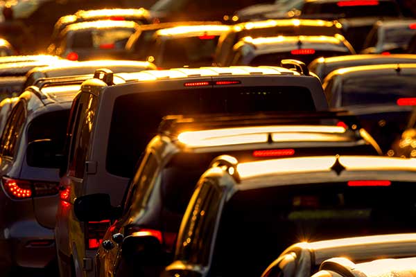
CSSH/CEE Associate Professor Serena Alexander conducts research finding that while the new “vehicle miles traveled” (VMT) metric is an improved way to evaluate a development’s environmental impact, its success is limited by a lack of tool standardization, legal precedent, and community equity.
This article originally appeared on Northeastern Global News. It was published by Cyrus Moulton. Main photo: Planners in California and a few other states hope measuring driving, rather than gridlock, will make for more compact developments. Getty Images
A new way to measure the traffic impacts of development offers promise, but is not foolproof
In 2013, the state of California implemented a new metric to evaluate the environmental impact of development on transportation infrastructure: vehicle miles traveled.
Opponents of new developments often argue that more construction will bring more traffic, frequently convincing developers to reduce the scale of their projects or seek out less densely-populated areas to build.
Although such compromises may lead to less congestion on the road, they don’t necessarily reduce driving and driving’s associated environmental effects.
But what if how much a community actually drives provides a better measure of how a new development stands to affect a neighborhood?
Although it’s not a silver bullet, research from Northeastern University finds that that new approach — called vehicle miles traveled (VMT) — is a better way to measure a developments’ environmental impacts related to transportation.
“We replaced something that was counterproductive with something that makes a lot more sense,” said Serena Alexander, an associate professor in civil and environmental engineering and public policy and urban affairs at Northeastern. “But it doesn’t mean that it’s perfect.”

Serena Alexander said the traditional measure of measuring the environmental impacts of a development on transportation infrastructure often led to sprawl. Photo by Matthew Modoono/Northeastern University
Alexander explained that for years, developers and planners used a measure called “level of service” to evaluate the environmental impacts of a development on transportation infrastructure. The higher the congestion, or overcrowding, on railroads, streets, or shipping lanes, for instance, the worse the level of service.
Planners and developers historically had two main solutions to improve worsening levels of service, Alexander said: widening and building new roads; and increasing construction in more remote places where there was less traffic.
Unfortunately, both make people drive even more, she said.
“As you widen the road, people think that, ‘Well, there’s no traffic, so we can drive,’” Alexander said.
Meanwhile, reducing the level of service by building housing or retail in remote, low-density areas can lead to subdivisions that you can only get to and navigate in a car, Alexander said.
“Every time that you build something, you potentially generate more driving,” Alexander said. “But when you build something that’s near transit or in a dense urban area, the extra driving that you generate is a lot less than when you build homes in a suburban or exurban area.”
The metric sounded promising to planners and environmentalists. Instead of encouraging developers to build 15 miles beyond city limits to reduce traffic, projects were incentivized to build closer to transit infrastructure, municipal hubs, and amenities to reduce driving.
Read full story at Northeastern Global News